
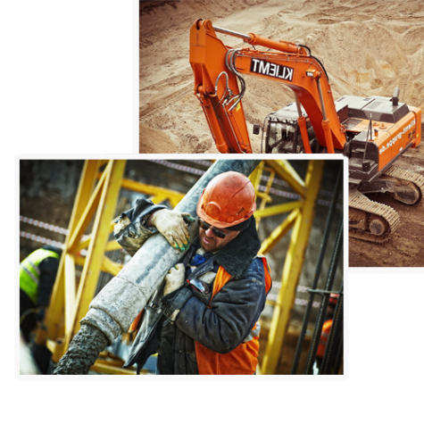
About Our Company
Baani Enterprises is a DELHI-based company established with core competence in the areas of Geographical Information System, Engineering design solutions, Topographical Survey and GPS & Total Station solutions, and ledar solution .Training, Data Processing, Ground survey & Others GIS related survey and Geotechnical Investigation. The Company specializes in Executing the various types of
Soil investigation and survey using all modern instruments like Total station, DGPS, GPS etc. in the Power Sectors, Irrigations, Roads, Rail, Mines, services for Municipality,
Health, and Urban planning sectors
In developing solutions and services, Baani Enterprises has been guide by the vision of combining thepower of GIS and the flexibility afforded by information technology with the blend of Internet to
develop utility-based solutions to customers. Baani Enterprises comprises of professionals who are welled adverse in their various technical, managerial, administrative fields to ensure that the project is executed to obtain the best result catering to the client’s requirements.
Baani Enterprises has emerged as a one-stop shop for all GIS, Survey, DPR & Software related
activities, including GIS & others training application, software Development, Data processing etc
in West Bengal as well as all over India. With strategic associates and partnerships at various
locations in India, Baani Enterprises can address your problems and offer solutions with quick
response, we believe in the power of knowledge which makes us to maintain consistency even
in severe and sustained competition.
-
610House Construction
-
12Years of Experience
-
985Satisfied Clients
Our Best Quality Services

Quantity Surveying Cost Mgmt
The cost manager/quantity surveyor plays a pivotal role in the financial and contract management of construction projects by providing accurate estimations of construction costs. Budgetary and detailed cost estimates are…
Read More
Project Management Consultancy
A consultant is a professional individual or business practice that provides expert advice to others. A project management consultant provides expert project management advice to…
Read More

Structural Design
Structural engineering is a sub-discipline of civil engineering in which structural engineers are trained to design the ‘bones and muscles’ that create the form and shape of man-made structures. Structural engineers also…
Read More
GIS & Remote Sensing:
UTILITY MAPPING URBAN GIS BASE MAP PREPARATION FOR TOWN PLANNING AND URBAN DEVELOPMENT DIGITIZATION GIS ANALYSIS IMAGE PROCESSING SURFACE MODELING
Read More